After leaving Cape Horn, we sailed north to enter the Beagle Canal, named after Charles Darwin’s ship. Ushuaia is the southernmost city in the world, at 55˚S. The capital city of Alberta, Edmonton, is located at 53˚N in the centre of the province, and Anchorage, Alaska, and Yellowknife, in Canada‘s Northwest Territories, are located at 61˚N.
The Beagle Canal is a narrow passageway between a group of islands on the southern tip of South America. Ushuaia is located on the large island of Isla Grande de Tierra del Fuego. the dotted line in the lower right of the map (actally the border between Argentina and Chile) runs through the Beagle Canal, past the city of Ushuaia.
 |
| Antarctica Passenger Terminal |
<>
 |
| Ushuaia: End of the Earth |
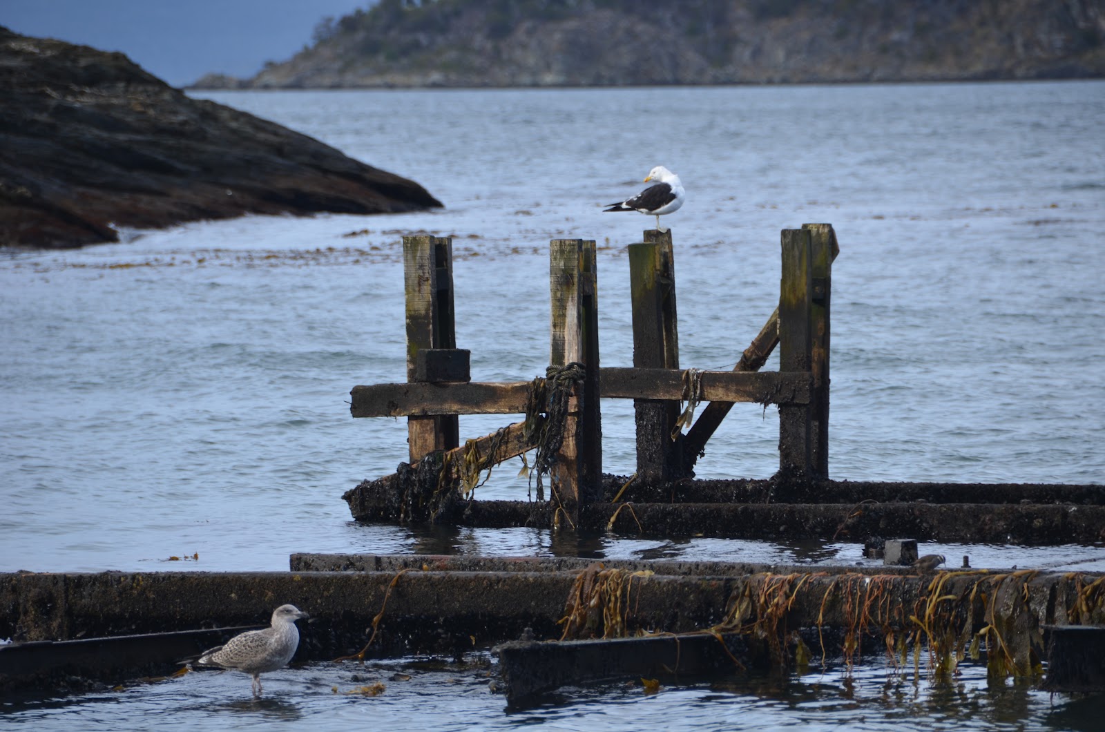
We boarded the bus and headed out to our first stop, Isla Redonda, on the Beagle Canal. This is the most southern post office in the world. You could send a postcard home for only $20.00 US! I chose to buy the postcards and bring them home.
Some of our group walked a little way around the pretty bay. I chose to stalk this bird, trying to get a good photo. He was quite cooperative, but I missed my bigger lens – though I enjoyed not having to carry it around!
 |
<>
| The crested caracara |
<>
 |
| Quite a striking fellow! |
<>
 |
Not as exotic, but, as our Aussie friend, Marcel,
would say, it still 'makes a pretty picture'. |
Our next stop was at Tierra del Fuego National Park.
 |
| This park celebrated its 50th anniversary in 2010. |
<>
 |
Carolyn, George, Barb and Lloyd
I have a plastic cover over the camera as it was showery. |
The vistor's center had a nice little museum upstairs. One of the areas described the indigenous people of the area: the Yahgan and the Alacalufes (Canoe Indians). The daily news published by Holland America says: 'Despite the inclement weather, they wore little or no clothing. Constant fies, which gave the region its name, kept them warm.' Our local guide told us that when the family went out into the channel, the man guided the canoe, the woman dived into the water to hunt for clams and other mollusks, and the child was responsible for keeping the fire going in the canoe!
<>
 |
| a photo of an old photo in the museum |
 |
| The canoes were made of wood and bark. |
 |
| A life-sized model of a native family |
<> <>
 |
<> <>
| The fire in the canoe, on a base of stones and soil. |
We could not imagine being in this climate without clothing, never mind going into the water!
 |
| Lake Acigami |
 |
These beautiful black-necked geese were very far out in the lake -
thus, the blurry photo, much enlarged. |
<> <>
<> <>
 |
| George and Lloyd |
<>
 |
<> <>
| Lloyd has his earflaps down! |
 |
| Our tour leader, Theresa, with Lloyd and our local guide. |
 |
<> <>
One of the many volcanic mountains in the area. Gorgeous! |
<> <>
I don't remember the name of this place, our last stop in the park before heading back into Ushuaia, but it was beautiful. It was hard to choose just a few photos, as the colors and the light were wonderful here.
 |
| Looking out at the Beagle Channel again. |
We then headed back into Ushuaia, where five of us decided to look for a recommended restaurant for a late lunch. We found it, closed, and ended up in another, where most of us had the most wonderful King Crab soup! The best soup, 'ever, ever, ever'!
 |
Barb, Betsy, Lloyd, Julia, and Jeannie
This photo just arrived today fron Julia - great timing, thanks! |
 |
| The view of the harbor as we left Ushuaia |
At the end of the day, we sailed west following the Canal back into open water before heading inland again, threading through the islands to get to our first stop in Chile at Punta Arenas.
 |
| The faint red line shows our route towards Punta Arenas. |


No comments:
Post a Comment